
Walking Routes in Swanage and the Isle of Purbeck
There are many footpaths around Swanage and the Isle of Purbeck. The South Coast walk route passes through the area. An excellent starting place for walks is Durlston Park which is well-signposted from the town centre. Swanage Maps are available in local shops.
The heathland at Studland is also popular for walking and Mountainbiking. The National Trust owns the heathland and most of the surrounding area, so it is always kept clean, and the animals are well-fenced in to stop them from going too far.
If you prefer a longer walk, we can recommend starting at Swanage seafront and following the cliff path to Kimmeridge, then heading inland towards Corfe Castle, then back to Swanage via the Purbeck Hills, which is approximately 20 miles with amazing views from on the top of the Purbeck hills.
We have curated a selection of routes that will take you through beautiful landscapes, charming villages, and historical sites. Walking is not only a great way to explore the outdoors, but it also offers numerous health benefits. Regular walking can help improve cardiovascular health, strengthen muscles and bones, and boost overall well-being. It's also a great way to get some fresh air, reduce stress and is a low impact form of exercise, making it accessible for all ages and fitness levels. So grab your walking shoes, a friend or your favourite podcast, and let's hit the trails!
Isle of Purbeck Walking Routes
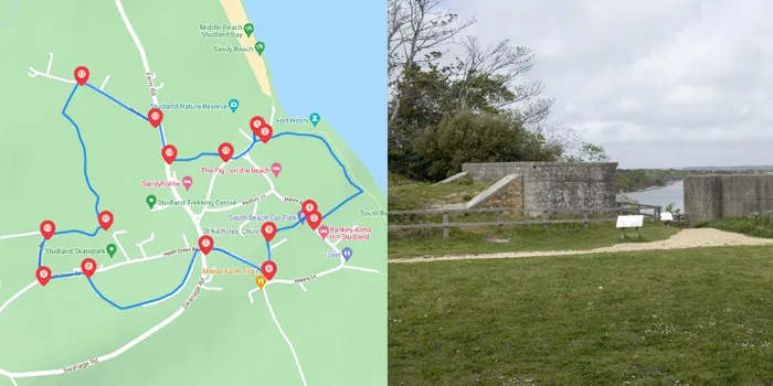
Exploring the paths and village of Studland in the Isle of Purbeck.
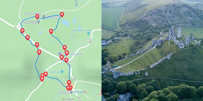
A walk around Corfe Castle and Norden station.
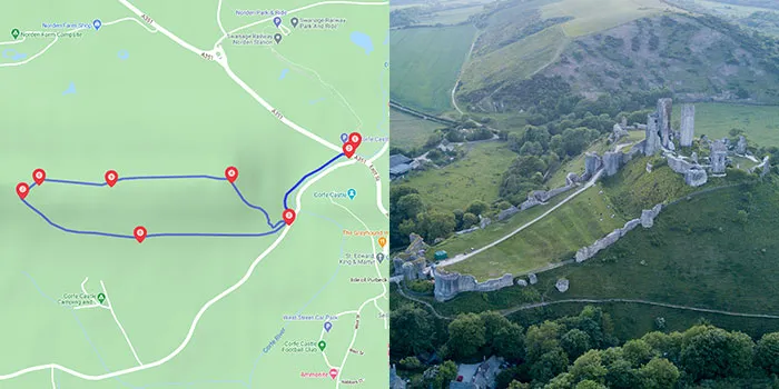
A hilly walk around the Purbeck Hills to the west of Corfe Castle.
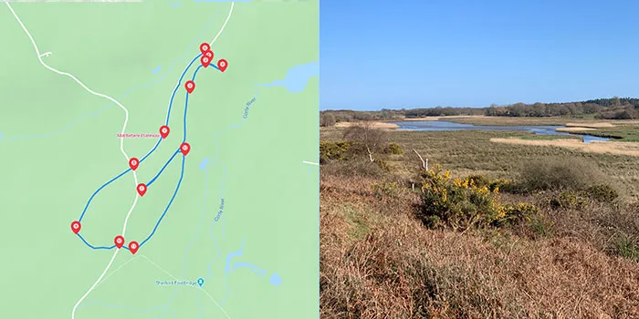
An easy flat walk around Hartland Moor near the Arne nature reserve with views over Poole Harbour and across to Corfe Castle.
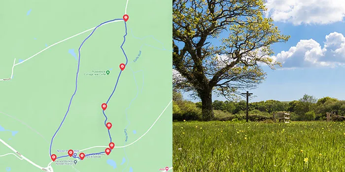
An easy level walk around the heathland at Norden and Scotland heath.
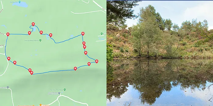
This is a hilly 2.5-mile walk exploring the north side of the Purbeck hills between Norden and Creech.
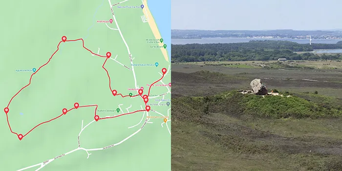
Studland Village to Agglestone Rock Walk
A 2.9-mile walk exploring Studland Heath and Agglestone Rock.
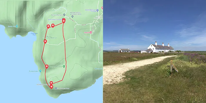
A 3-mile walk exploring the coast path above Chapmans Pool to St Aldhelms Head with views along the Jurassic Coast.
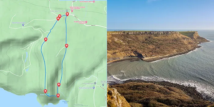
A hilly 3.5-mile walk along good tracks with stunning views of the Jurassic Coast.
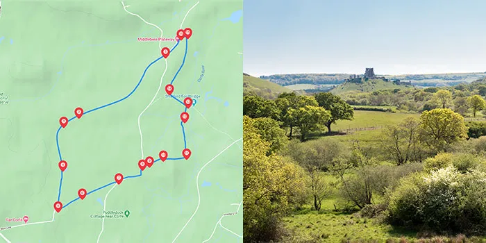
A flat 3.6-mile walk along good tracks following parts of the Hartland Way walk along disused clay mining railway lines.
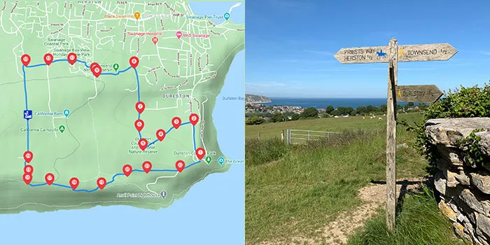
This is a 4-mile walk around Durlston Country Park and the Townsend Nature Reserve which crosses part of Priests Way. The walk offers stunning views over the Isle of Purbeck, the Jurassic Coast, and the Isle of Wight.
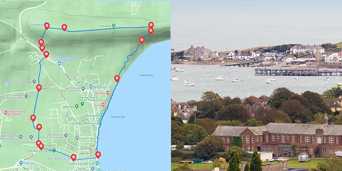
A walk with some steep hills and steps giving you stunning views over Swanage, Studland and Poole Harbour from the Purbeck Hills.
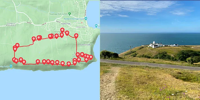
Durlston to Dancing Ledge Walk
A walk from Durlston Country Park to Dancing Ledge along the upper path and returns via Priests Way and Townsend nature reserve. The walk offers stunning views over the Isle of Purbeck and the Jurassic Coast.
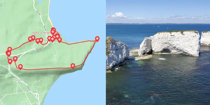
Studland To the Obelisk and Old Harry Walk
A walk starting at Studland and walking across the edge of the heathland, heading across the golf course and returning via Ballard Down and Old Harry Rocks.
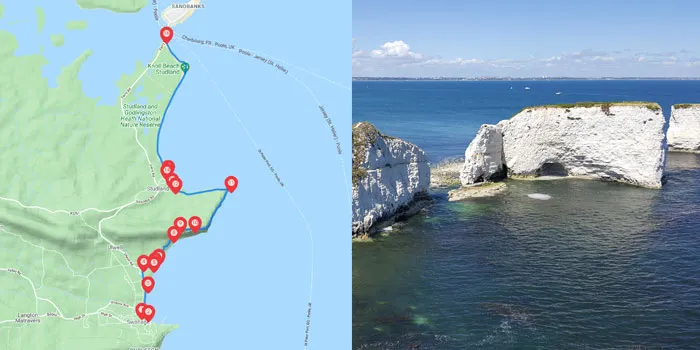
South West Coast Path Swanage to Sandbanks Ferry
A walk from Swanage to the Sandbanks chain ferry via Studland Beach following the South West Coast path.